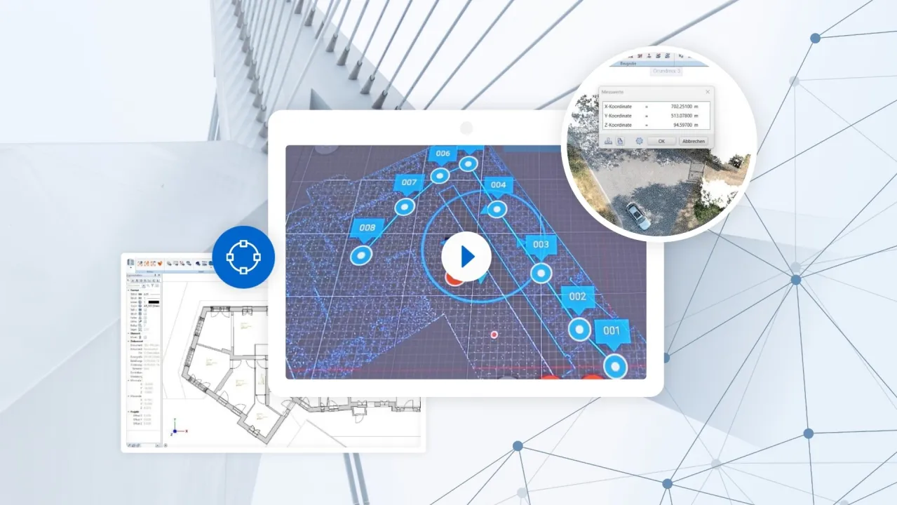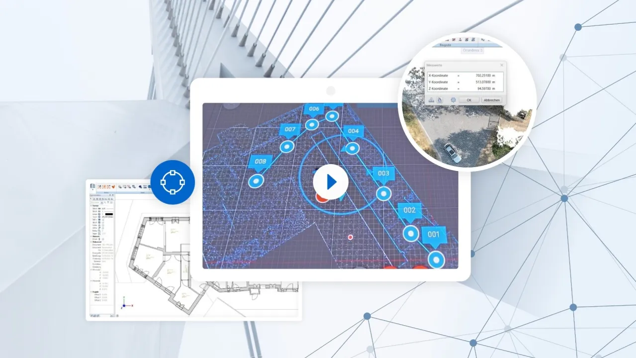

Efficient Analysis and Processing of Point Clouds: The Interaction Between Scalypso and ALLPLAN
Information
Precise Capture and Processing of Laser Scan Data for Construction Projects
The precise capture and processing of laser scan data are becoming increasingly important for surveying and planning construction projects.
In this webinar, we present the further processing of data collected using both drones and terrestrial laser scanners. Two practical use cases highlight the versatile applications of combining Scalypso and ALLPLAN: surveying in civil engineering and the documentation of architectural objects.
Experienced practitioners will demonstrate how Scalypso optimizes working with point clouds by transmitting only the relevant data to ALLPLAN via a real-time interface.
Key Topics:
- Efficient processing of terrestrial and drone laser scan data
- Seamless integration of point clouds into ALLPLAN via real-time interface
- Practical use cases: surveying in civil engineering and architectural documentation


